Research March 22, 2016
From Fish Productivity to Satellites: Two new research projects launched at IISD-ELA
By Scott Higgins, Research Scientist
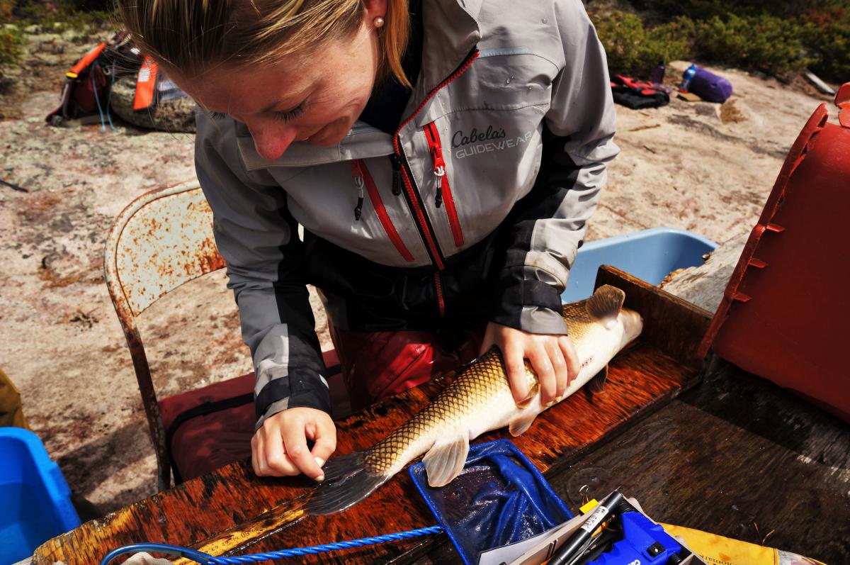
Recent changes to the Canadian Fisheries Act represent a shift in focus from protecting fish habitat to protecting the productivity of commercial, recreational and aboriginal fisheries. But how do you measure fish productivity or the effects of large-scale projects on fish productivity? A new research project by IISD-ELA scientists and funded by Manitoba Hydro aims to answer those questions. The main scientific objectives of this research are to identify and quantify the linkages between fish productivity and ecosystem indicators. The research will focus on several large-scale habitat disruption experiments where detailed information has been collected on a wide range of physical, chemical and biological parameters, including detailed information on the response of fish populations. The project will identify ecosystem indicators that are most useful for predicting impacts associated with major habitat disruptions on fish productivity, and provide guidance on the appropriate spatial and temporal scales of data collection for these indicators that should be included in monitoring programs. This project is having its kick-off meeting in March 2016, and efforts are already underway to recruit graduate students.
A second project, which represents a collaboration between researchers at Natural Resources Canada and IISD-ELA, will focus on the utility of a new satellite constellation (RADARSAT-3, to be launched in 2018) to reliably estimate ice cover on Canadian lakes. The IISD-ELA field station was selected as one of three sites in Canada that will be used to validate satellite-derived data on ice cover across a range of lake sizes using RADARSAT-2 satellites. This information is intended to inform the development of web-based tools to interpret RADARSAT-3 images, making these images more useful to the Canadian public. More information on the RADARSAT-3 constellation can be found here: http://www.asc-csa.gc.ca/eng/satellites/radarsat/.
For IISD-ELA researchers, the information derived from the satellite data will be extremely useful for examining how variable ice-formation in the autumn and ice-breakup in the spring are at a regional scale, and whether this variation can be attributed to drivers such as landscape position or lake size.